【R】世界地図(正距方位図法)
2020年12月1日
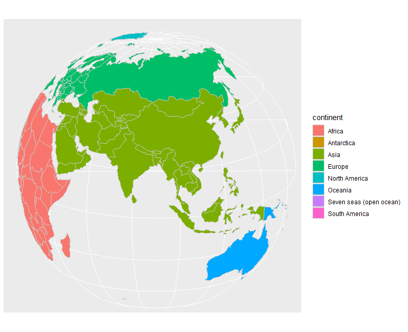
正距方位図法(full hemispheric orthographic projection)での世界地図を表示してみます。データはrnaturaleartchで取得します。
こちらのページを参考にしました。
library(sf)
library(ggplot2)
library(mapview)
library(lwgeom)
library(rnaturalearth)
library(tidyverse)

world <- rnaturalearth::ne_countries(scale = 'small', returnclass = 'sf')

ggplot() +
  geom_sf(data=world, color="gray80", aes(fill=continent)) +
  coord_sf( crs= "+proj=ortho +lat_0=-20 +lon_0=-30")

ggplot() +
  geom_sf(data=world, color="gray80", aes(fill=continent)) +
  coord_sf( crs= "+proj=ortho +lat_0=20 +lon_0=90")