【R】albersusa
2021年5月17日
1. はじめに
albersusaは、Albers USA projection styleでアメリカの地図を扱うツールやシェープファイル、データを提供します。
2. インストール
Githubからインストールします。
remotes::install_github("hrbrmstr/albersusa")3. つかってみる
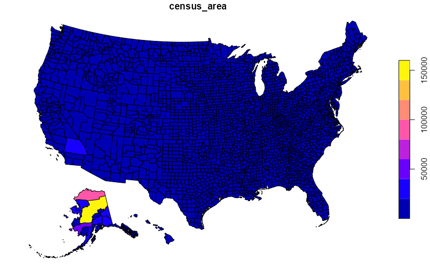
counties_sfで郡を、usa_sfで州のデータを取得できます。
プロジェクションのスタイルは下記の通り。
us_aeqd_proj: Oblique azimuthal equidistant convenience projectionus_eqdc_proj: Equidistant conic convenience projectionus_laea_proj: Albers equal-area conic convenience projectionus_lcc_proj: Lambert conformal conic convenience projectionus_longlat_proj: Generic long/lat convenience projection
library(albersusa)

cty_sf <- counties_sf("laea")
plot(cty_sf["census_area"])
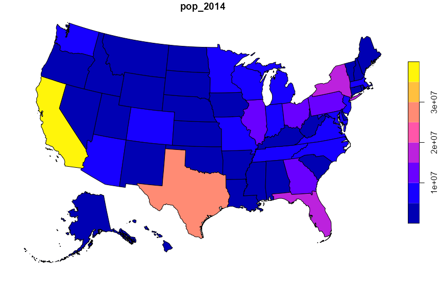
us_sf <- usa_sf("aeqd")
plot(us_sf["pop_2014"])
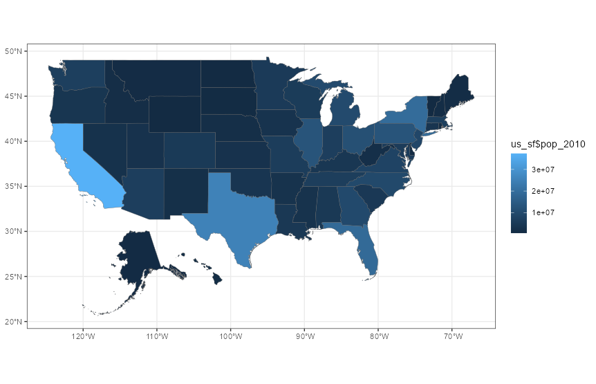
もちろんggplotでも扱えます。
ggplot(us_sf) +
  geom_sf(size = 0.125, aes( fill=us_sf$pop_2010)) +
  coord_sf(crs = us_longlat_proj)+
  theme_bw()
4. さいごに
アメリカの地図を用意に扱えそうで良いですね。
